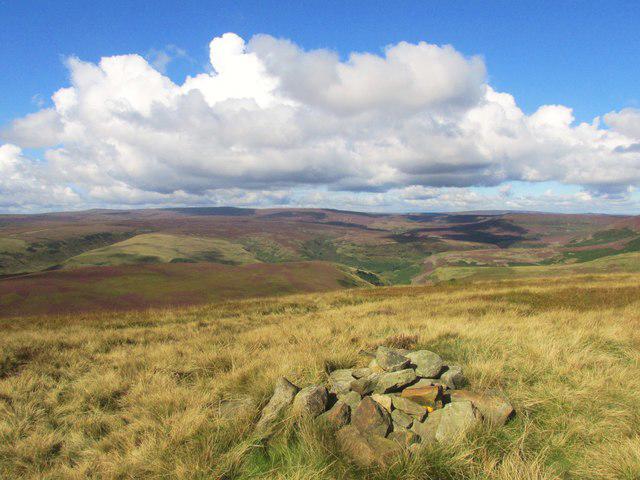
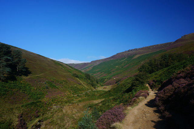
![Howden Edge [High Stones]](https://cdn.walkmates.com/hill-photos/hill-placeholder.jpg)
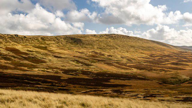
![SK1894 : Howden Edge [High Stones]](https://cdn.walkmates.com/gallery-images/a6587a6443e94416844edba36df6df81.jpg)
Upland / Hill
Circular
Hard
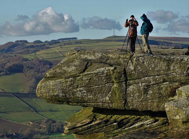
Kinder Scout from Edale Circular
PaulWalkmates
Walk organiser

![Howden Edge [High Stones] location map](https://cdn.walkmates.com/hill-maps/howden-edge-[high-stones].png)
No comments yet. Be the first.